
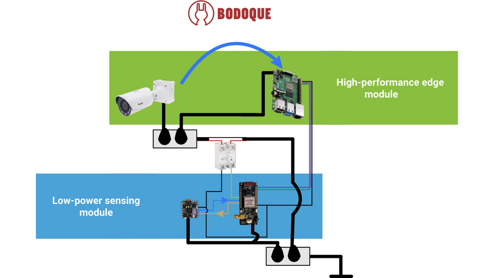
BODOQUE: An Energy-Efficient Flow Monitoring System for Ephemeral Streams
Effective environmental monitoring is crucial for managing global environmental challenges and providing the necessary data for Environmental Intelligence (EI). This discipline involves the integration of data from various sources to gain a comprehensive understanding of specific regions or processes. In this post, we introduce BODOQUE, a hardware-software infrastructure to monitor water flows in ephemeral streams where the water rarely flows with great force. BODOQUE uses a low-power TinyML-based camera to detect the presence of water, activating a more complex system to measure flow only when the water flows, thereby optimizing energy consumption. This device is being deployed in the Segura basin, Murcia, Spain. This...

Satellite Imagery Approach in the H2020 SMARTLAGOON Project
Are you familiar with the products of the European Space Agency's (ESA) Copernicus programme? We are using both Sentinel-3 (S3) and Sentinel-2 (S2) in SMARTLAGOON because we are interested in using the almost daily remotely sensed water quality data to calibrate our Mar Menor lagoon model, which is provided by S3, but unfortunately at a very low resolution - i.e. 300 m pixels. We realised that in such a context, in a shallow water lagoon, there is a clear relationship between aerial images - such as those provided by S2 every 5-10 days and with a resolution of up to 10 m pixels - and...
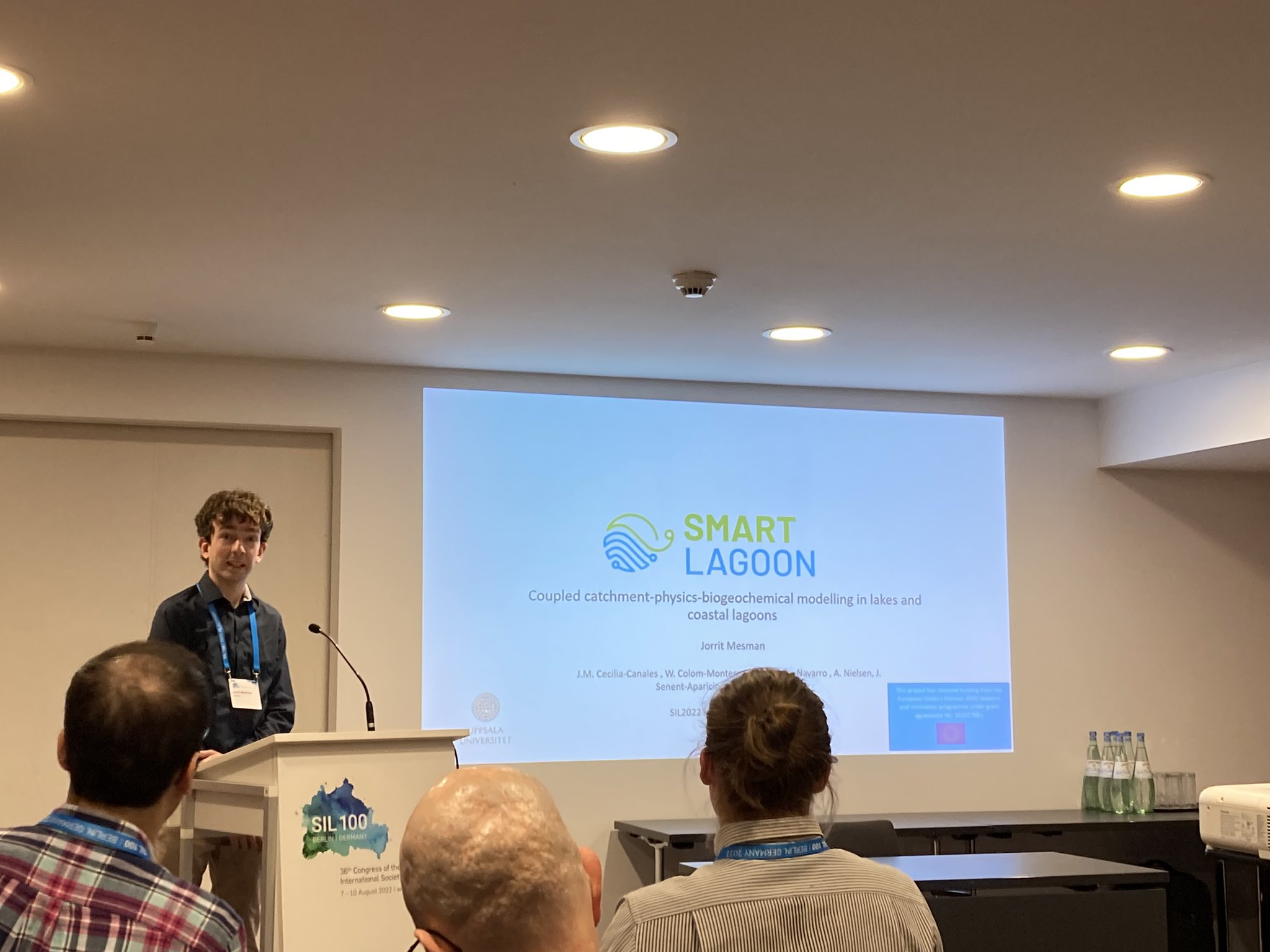
SMARTLAGOON represented at scientific meetings: DSOS and SIL
In July and August 2022, Jorrit Mesman represented SMARTLAGOON at two scientific events; the virtual DSOS (Data Science Open Science) Summit and the SIL (International Society of Limnology) conference in Berlin, Germany. Our project is composed of scientific knowledge and expertise that has been built-up over the past decades, but SMARTLAGOON also generates new knowledge that may benefit the larger scientific community, and therefore it is good to occasionally share this knowledge at scientific meetings. Moreover, by listening to and interacting with other scientists, new insights may be gained that can further help to achieve SMARTLAGOON’s goals. DSOS is a virtual event that intends to...