
Coupled modelling of watersheds and water bodies – from global scale to Mar Menor
We may not always realise it, but our lives are surrounded by models. If we define a model as a “representation of something”, we can see a map as a model of real-world topography – helping us to navigate -, or a mannequin in a shop as a model of our bodies – so we can better visualise how we would look in certain clothes. Models can also be numerical: a weather forecast model tells us (not always accurately) if it is going to rain tomorrow. But also bus tables, city infrastructure, airplane design, and so many more things, are partially the product of models, both physical and numerical. In SMARTLAGOON, we use numerical models to simulate the processes in aquatic ecosystems (specifically, coastal lagoons and their watersheds). One may choose to model a certain ecosystem in order to understand the ongoing processes better (e.g. the role of mixing in the formation of algal blooms), to assess the effect of potential scenarios (e.g. the effect of the placement of a dam on drinking water provision), or to forecast what will happen to that system in the future, either in several days or decades later. As such, modelling may help us to better understand and manage ecosystems. Watersheds and (inland) water bodies are of interest to our societies because of the many ecosystem services they provide. These include drinking water provision, bathing, irrigation, their effects on local climate, but also cultural and aesthetic values: we value lakes, rivers, and lagoons for their presence itself, and this significance extends beyond mere monetary value.
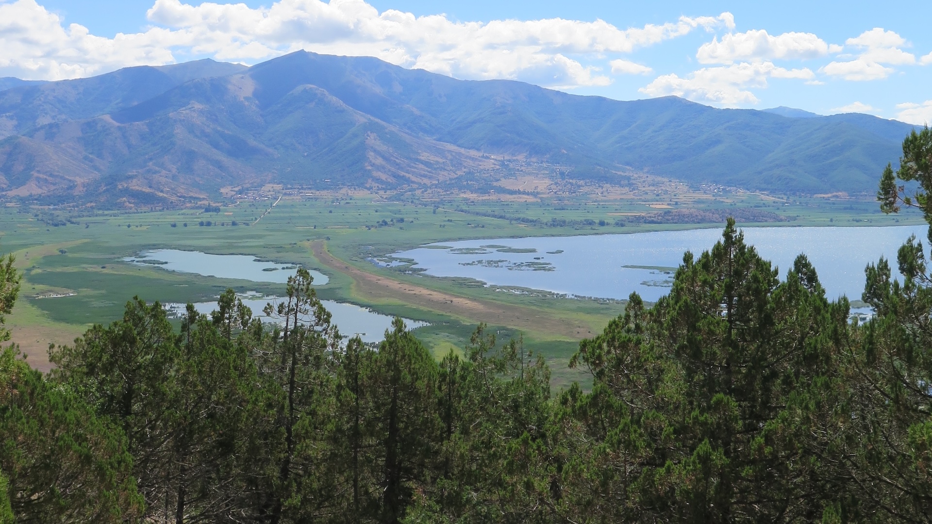
Modelling of watersheds and water bodies has a long and rich history. Watershed modelling was, and is, relevant to us because we can forecast how rivers may respond to heavy rainfall, so we can design water works that keep us safe, or warn people of possible flooding. Watersheds also transport nutrients downstream, to lakes, lagoons, and oceans, where they may cause harmful algal blooms. Lake and ocean models may be used to simulate reductions in dissolved oxygen or assess the risk of algal blooms, both of which could threaten the water quality of these water bodies, including the ecosystem services they provide. However, ongoing processes are markedly different between watersheds and water bodies. Watershed models focus on movement of water through soils, on erosion, and how substances leach from soils into water. Water body models, in contrast, represent mixing of different water layers, and the growing conditions in different layers of the water column, based on light, nutrients, and temperature. As such, it is comparatively rare to find scientists or water managers that are actively engaged in both types of modelling and, although watersheds and water bodies are undeniably coupled in the real world (Figure 1), many modelling studies (at least in the past) tended to treat either of the two environments in isolation, or at least by strongly simplifying one of them.

Figure 1. Diagram of the coupling between weather, watershed, and lake models, with black arrows indicating a flow of information. Weather data (observed or modelled) is forcing both the watershed and the lake model, and outputs from the watershed model are used in the lake model. Depending on the scale of the simulations, however, there could also be a flow of information from the lake model to the watershed model (e.g. the effect of a lake on water flow) or feedback to the climate model (effects of lakes and soil moisture on climate).
Nowadays, we are entering an era of “big data” and our computational capabilities have expanded rapidly over the past few decades. Newfound knowledge has been incorporated in watershed, lake, and ocean models alike, and fortunately there is also renewed recognition on the need to work towards coupling watersheds and water bodies. However, computational resources are not enough: scientists and water managers need to work together to represent these systems in a way that is both accurate and useful. The SMARTLAGOON consortium is indeed following this approach, bringing together system-specific knowledge and technical expertise to build towards a systemic understanding of the socio-environmental dynamics of coastal lagoons. The consortium partners each contribute specific skills and knowledge and by working together, we can move beyond the state-of-the-art and explore scenarios to improve their overall quality, with efforts centring on the Mar Menor.
Within SMARTLAGOON, coupled watershed and lagoon models have been used to understand the water balance of the Mar Menor (https://doi.org/10.1016/j.jhydrol.2021.127150). However, one of the final products of the project is to also include simulations of the chemistry and biology of the lagoon. To this end, we will use a watershed model called SWAT+ to calculate discharges and nutrient loads into the lagoon, and a lake/lagoon model called WET to simulate oxygen, nutrient, macrophyte, and phytoplankton dynamics. Such a coupled setup has successfully been tested and applied in the Swedish Lake Erken (https://doi.org/10.1016/j.scitotenv.2023.163946; https://doi.org/10.5194/egusphere-2023-1679) and we are currently working on setting this up for the Mar Menor. Such a model setup will then be used for scenario testing (e.g. what will happen to the water quality in the lagoon if we adapt certain agricultural practices) and integrated into a forecasting portal (see Figure 2 for a preliminary version). Moreover, the model will help inform a further step as well: SMARTLAGOON researchers are also looking at how the people living and working around the lagoon perceive the Mar Menor and how their actions affect the water quality of the lagoon.

Figure 2. Screenshot from asap-forecast.com, showing depth profiles of oxygen concentration over time in the Mar Menor. This is a preliminary version of the model, and the final version will likely look different.